1st april 2011
A broad, precise perspective

“Engineers began conceiving the first SPOT satellites 35 years ago,” recalls Françoise Masson, SPOT Project Leader at CNES. “The satellites have obviously evolved since then, but the basic architecture remains the same and the data are still as widely used as ever.”
The SPOT 1 satellite, launched in 1986, was designed to observe cities, roads, farmlands, natural disasters and other features on Earth’s surface.
It therefore found itself in competition with the U.S. Landsat satellite, the first Earth-observation satellite that entered service in 1972.
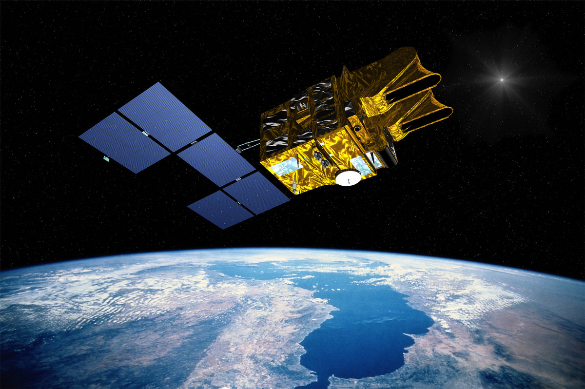
But SPOT 1 soon carved out its own niche. CNES’s engineers gave it steerable mirrors to be able to view on either side of its ground track, meaning it could revisit a site every 5 days and acquire relief imagery.
Another strong point was its then unrivalled 10-metre resolution. The effective concept was soon to inspire many other European satellites.
“SPOT was very clearly the forerunner of the Helios military surveillance satellites,” says Benoît Boissin, SPOT Programme Manager at CNES. “The technologies developed for the SPOT satellite bus also served for the 2 ERS radar satellites, Envisat1 and the 3 MetOp2 weather satellites.”
25 million images in 3 generations
“The first major evolution came with SPOT 4, launched in 1998,” explains Benoît Boissin. “SPOT 4 can view in the short-wave infrared and has a wide-swath instrument called VEGETATION with a resolution of 1 km that acquires daily imagery of Earth.”
Measurements in the red and near-infrared bands characterize photosynthetic activity in plants, while the short-wave infrared reveals soil moisture and plant moisture content.
SPOT 4 therefore helps foresters and farmers to assess and better manage forest and crop health.
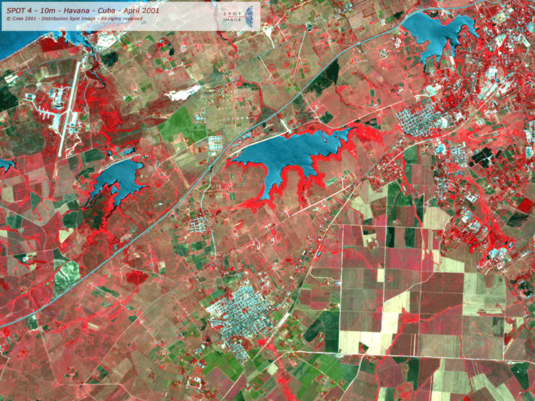
The second major evolution came in 2002 with the arrival of SPOT 5, which acquires Earth imagery at a resolution of 2.5 m. This constituted a genuine leap forward. “During the recent disaster in Japan, SPOT 5 made it possible to identify all areas affected by the tsunami along 300 km of coastline in just 2 days,” stresses Hélène de Boissezon, in charge of CNES’s Image Analysis and Products department. “No other satellite offers that combination of swath and resolution, which is a key advantage for close observation of vast territories.”
The gain in resolution offered by SPOT 5 and the many applications it serves have provided a boost to the emerging satellite imagery market. “Astrium-GEO Information Services is developing and funding the next generation of smaller and more agile SPOT 6 and SPOT 7 satellites. The SPOT series is fully operational and now capable of securing its own funding, which proves its success,” concludes Benoît Boissin.
(1) Satellites developed by ESA
(2) Satellites developed by Eumetsat