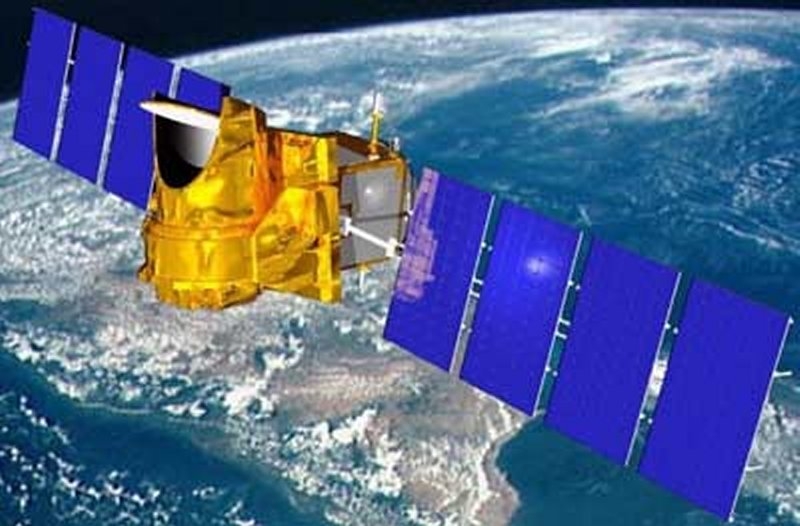
This satellite will focus on important issues affecting the development of nations in this part of the world. Data collected could help to gain a better understanding of the climate processes driving the formation of cyclones and seasonal monsoon variations.
Energy exchanges in the Earth’s atmosphere are linked to the water cycle: the oceans absorb solar energy, water in the oceans and on land evaporates, latent heat is released in the form of precipitation, and water vapour and clouds alter the radiation balance. In large tropical cloud systems, these energy exchanges are particularly intense
Any variation of these complex mechanisms affects climate, sometimes producing severe weather events such as tropical cyclones, flooding or drought... Hence the value of studying these still poorly understood phenomena more closely.
The Megha-Tropiques mission will observe atmospheric variations in water vapour content (clouds and cloud condensed water content), precipitations and evaporation.

Circling Earth in a 20° low-inclined orbit at an altitude of 800 km, the Megha-Tropiques satellite will be capable of imaging any point in the Intertropical Convergence Zone (ITCZ) up to 6 times a day.
It will be carrying a payload of three instruments: the MADRAS microwave imaging radiometer, to study precipitation and cloud properties, the SAPHIR microwave sounder, to measure distribution of atmospheric water vapour, and the SCARAB radiometer, to measure radiative fluxes at the top of the atmosphere.
Megha-Tropiques’ instruments will provide simultaneous measurements of the elements of the atmospheric water cycle and measure the radiation budget at the top of the atmosphere. These data will help scientists, for example, to quantify the role of tropical cyclones in the energy balance—something current weather and climatology satellites cannot do.
CNES and ISRO will share joint responsibility for the satellite and science missions, with CNES acting as prime contractor for some of the instruments.